Artificial reefs off Destin and Okaloosa County: how to find them and fishing rules
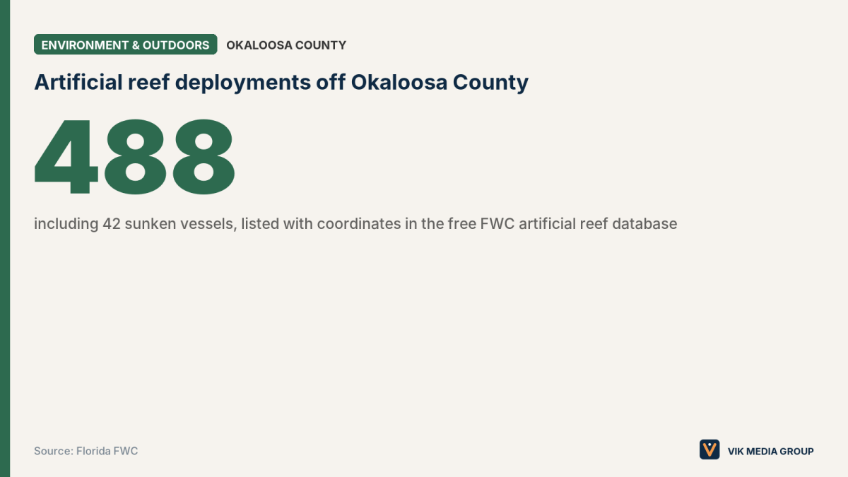
Okaloosa County has 488 artificial reef deployments in the Gulf off Destin and Fort Walton Beach, including 42 sunken vessels, according to the Florida Fish and Wildlife Conservation Commission (FWC) artificial reef database as of Oct. 30, 2026. Anglers can find each reef’s coordinates, depth and deployment date in that free FWC database. Fishing a reef from a private boat requires a Florida saltwater license, the free State Reef Fish Angler designation and, for reef fish, a descending device or venting tool rigged and ready to use, per the FWC.
Okaloosa County, which builds most of the reefs, had 48 large vessels on the Gulf floor as of June 29, 2026, according to a county news release. The two counts come from different sources and dates.
How do I find artificial reef coordinates off Destin?
The FWC publishes the location of every permitted artificial reef in Florida in its Artificial Reefs in Florida dataset, with latitude, longitude, depth, material and whether each reef sits in state or federal waters. The FWC also posts a statewide reef location list in PDF, dated March 6, 2026.
The FWC warns that the reef data is “for display purposes only” and should not be used for navigation, because most locations have not been independently confirmed.
The Destin-Fort Walton Beach tourism office, part of Okaloosa County, posts 3D models of the county’s large-vessel reefs.
Which large ship reefs are off Destin and Fort Walton Beach?
These are the 10 largest vessel reefs off Okaloosa County by tonnage, as listed in the FWC reef database on Oct. 30, 2026:
| Reef | Sunk | Depth (feet) | Latitude | Longitude | Waters |
|---|---|---|---|---|---|
| Ozark | 1982 | 332 | 29° 55.103′ N | 86° 34.926′ W | Federal |
| Monarch Countess | July 31, 2024 | 180 | 30° 06.349′ N | 86° 45.502′ W | Federal |
| Spirit of Norfolk | June 24, 2025 | 128 | 30° 07.941′ N | 86° 39.688′ W | Federal |
| M/V Courageous | April 28, 2022 | 130 | 30° 06.689′ N | 86° 33.301′ W | Federal |
| DEEP STIM III | Jan. 30, 2024 | 135 | 30° 03.035′ N | 86° 17.758′ W | Federal |
| USS Shamal (PC 13) | March 21, 2026 | 165 | 30° 04.860′ N | 86° 36.760′ W | Federal |
| USS Zephyr (PC 8) | March 23, 2026 | 157 | 30° 04.221′ N | 86° 33.946′ W | Federal |
| R/V Manta | Jan. 15, 2023 | 111 | 30° 08.630′ N | 86° 39.192′ W | Federal |
| R/V Dolphin | March 15, 2023 | 122 | 30° 07.634′ N | 86° 24.131′ W | Federal |
| USAF Big Dawg | May 7, 2021 | 104 | 30° 09.047′ N | 86° 34.424′ W | Federal |
The M/V Fantasea, sunk July 15, 2025, in 88 feet of water at 30° 14.388′ N, 86° 30.294′ W, is the largest vessel reef off Okaloosa County listed in state waters, per the FWC database.
Are there artificial reefs you can reach from the beach?
Yes. Okaloosa County has placed snorkel reefs close to shore at Henderson Beach State Park, John C. Beasley Park in Fort Walton Beach (east of the pavilion) and Okaloosa Island Beach Access 4, according to the Destin-Fort Walton Beach tourism office. The office lists no coordinates or depths for these beach reefs.
What fishing rules apply on artificial reefs?
Fish caught on an artificial reef follow the same seasons, size limits and bag limits as anywhere else in the Gulf, and the rules can differ between state and federal waters, according to the FWC. The FWC reef database shows whether each reef is in state or federal waters.
Anglers fishing for reef fish from a boat must carry this gear, per the FWC reef fish gear rules:
- Circle hooks: non-stainless steel circle hooks when using natural bait (non-offset in state waters).
- Dehooking device.
- Descending device or venting tool, rigged and ready to use, in both state and federal waters. The state-waters rule took effect April 1, 2023.
The FWC counts groupers, snappers, amberjacks, gray triggerfish, red porgy, sea bass, hogfish and tilefish as reef fish in state waters.
What reef fish are open off Destin in fall 2026?
Gulf reef fish seasons off the Emerald Coast, as of Oct. 27, 2026, per the FWC:
| Species | Status | Limits |
|---|---|---|
| Red snapper | Open on set weekends and holidays through Jan. 4, 2027 | 16 inches minimum, two per person (FWC) |
| Gray triggerfish | Open through Dec. 31, 2026 | 15 inches fork length, one per person |
| Red grouper | Open year-round in state waters | 20 inches minimum (FWC) |
| Gag grouper | Closed in state waters since Oct. 1, 2026 | — |
| Greater amberjack | Closed in state waters since Oct. 14, 2026 | — |
Do I need a license to fish the reefs?
Anglers 16 and older need a Florida saltwater fishing license and the free State Reef Fish Angler designation to fish for reef fish such as red snapper, grouper, triggerfish and amberjack from a private boat, according to the FWC. The designation must be renewed every year and has no exemptions. Passengers on a licensed charter boat do not need their own saltwater license, per the FWC.
What new reefs are coming off Okaloosa County?
Okaloosa County plans to sink the 224-foot vessel Henry Alex as the Sposit Reef, in about 120 feet of water at a proposed site of 30° 05.831′ N, 86° 17.749′ W, 22 nautical miles from Destin’s East Pass, with deployment expected in fall 2026, according to the county’s June 29, 2026, release.
The county is also preparing the SS United States to become a reef about 20 nautical miles south of Destin-Fort Walton Beach in about 180 feet of water. As of the county’s SS United States FAQ, last updated with a Dec. 9, 2025, presentation, no sinking date had been set, pending final approval from the U.S. Army Corps of Engineers and the U.S. Environmental Protection Agency.
Spotted a rule change or a closed ramp? Send it to the Emerald Coast Dispatch through the contact page.
More Outdoors & Recreation guides and local services ›
Live in the Emerald Coast? Write for us as a Community Contributor and share what you see in your town.
Questions and answers
- Where can I get GPS coordinates for artificial reefs off Destin?
- The FWC publishes every permitted Florida artificial reef, with latitude, longitude, depth and state or federal waters, in its free Artificial Reefs in Florida dataset and a statewide PDF list. The FWC says the data should not be used for navigation.
- How many artificial reefs are off Okaloosa County?
- The FWC artificial reef database lists 488 deployments off Okaloosa County, including 42 vessels, as of Oct. 30, 2026. Okaloosa County said in June 2026 that it has 48 large vessels in the Gulf.
- Do I need a descending device to fish reefs in Florida?
- Yes. Anglers fishing for reef fish from a boat in Gulf state or federal waters must have a descending device or venting tool rigged and ready to use, plus a dehooking device and circle hooks with natural bait, per the FWC.
- Has the SS United States been sunk off Destin?
- Not as of Okaloosa County's SS United States FAQ, last updated with a Dec. 9, 2025, presentation. The county planned to sink it about 20 nautical miles south of Destin-Fort Walton Beach after final federal approvals.
- Can you snorkel an artificial reef from the beach in Fort Walton Beach?
- Yes. Okaloosa County placed near-shore reefs at John C. Beasley Park, Okaloosa Island Beach Access 4 and Henderson Beach State Park, according to the Destin-Fort Walton Beach tourism office.
Sources
- FWC: Artificial Reefs in Florida dataset
- FWC: State of Florida artificial reef locations (March 6, 2026)
- FWC: Reef fish gear rules
- FWC: Snappers
- FWC: Groupers
- FWC: Saltwater fishing licenses
- Okaloosa County: Sposit Reef release, June 29, 2026
- Okaloosa County: SS United States FAQs
- Destin-Fort Walton Beach (Okaloosa County TDD): Artificial reefs
- Destin-Fort Walton Beach: 3D models of artificial reefs