Flood Advisory for Southeastern Bay County, Including Mexico Beach, Until 7:15 AM CST
The National Weather Service in Tallahassee issued a Flood Advisory for southeastern Bay County and central Gulf County on Nov. 4, 2026, warning of minor flooding from heavy rain.
Gulf Coast rip current and marine alertsPart of a story we are following · 14 articles · See every update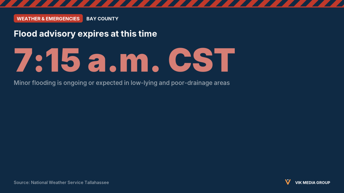
The National Weather Service (NWS) in Tallahassee issued a Flood Advisory at 6:12 a.m. EST on Nov. 4, 2026, for southeastern Bay County and central Gulf County in the Florida Panhandle. The advisory is in effect until 8:15 a.m. EST (7:15 a.m. CST), according to the NWS alert.
At 6:11 a.m. EST, Doppler radar showed heavy rain from thunderstorms. The NWS reports that 1 to 2 inches of rain have already fallen and that another 1 to 2 inches are expected. The alert says minor flooding is ongoing or expected to begin shortly in low-lying and poor-drainage areas.
The NWS lists these locations as likely to flood: Port St. Joe, Mexico Beach, Highland View, Ward Ridge, Jones Homestead, Simmons Bayou, Saint Joe Beach, St Joseph State Park, Beacon Hill, Indian Pass, Odena, Cape San Blas and Overstreet.
The NWS advises drivers to turn around, don’t drown when they reach flooded roads. According to the agency, most flood deaths occur in vehicles. The alert does not say whether the advisory will be extended or upgraded to a Flash Flood Warning after 8:15 a.m. EST.